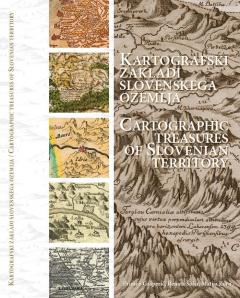
Kartografski zakladi slovenskega ozemlja / Cartographic Treasures Of Slovenian Territory
The book presents a wealth of historical cartographic representations of Slovenian territory. It is divided into two main parts. The first or the text part briefly presents the history of European cartography up to the end of the nineteenth century, maps of the Slovenian territory up to the early twentieth century and maps as cultural heritage. In the second or cartographic part, in turn, features important historical maps of the Slovenian territory presented in chronological order. The format of the book enables an excellent presentation of the presented maps. The maps presented date from the mid-sixteenth century, when the first independent maps of present-day Slovenia were produced, to the beginning of the twentieth century, when cartography developed into a modern discipline. The aim of this book is to present the extensive Slovenian cartographic heritage.
Co-published by Narodna in unverzitetna knjižnica (NUK),
Downloads

License

This work is licensed under a Creative Commons Attribution-NonCommercial-NoDerivatives 4.0 International License.
