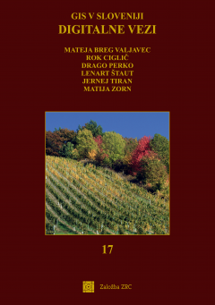
Digitalne vezi
The publication Digitalne vezi (‘Digital Connections’) is the 17th book in the series ‘GIS v Sloveniji’ [GIS in Slovenia]. Its aim is to present diverse findings of researchers from the world of geographic information systems in Slovenia from recent years. Powerful data acquisition sensors and geoinformation tools enable research of various processes and phenomena, and a number of web-based applications are being developed to display spatial information. The book presents the results of projects and research findings in fields such as geomorphology, environmental protection, geography, geodesy, forestry, transport, tourism, remote sensing, agriculture and others. Readers will find in the book new possibilities for the use of geographic information systems and can find out about interesting research results in a wide range of fields.
Chapters
-
Front / Back
-
Geoinformatics support for determining restrictions and suitability for flying unmanned aerial vehicles (UAVs) in the open category
-
The relationship of the distribution of cave entrances and the micro-relief characteristics of the karst surface:the example of the Slovenian Dinaric karst
-
Digital links of geodetic marks between past and present
-
Local spatial management supported by geographic information systems
-
Virtual thematic trails with location-based augmented reality – the example of the PolhAR mobile app The PolhAR
-
Use of satellite interferometry InSAR for monitoring of movements of complex landslide-prone area of Rebrnice along the Razdrto-Vipava highway, SW Slovenia
-
Comparison of the accessibility of existing emergency medical units with proposals from 2022 and 2024
-
Accessible spaces for all – improving accessibility of tourism for persons with disabilities in Central Europe
-
Interconnecting spatial databases to enable the mobility of people with disabilities
-
Effects of position incongruence of remote sensing data on tree classification
-
Mapping forest fires in the Karst region using various remote sensing data sources
-
DRAJV mapCreation of a web GIS application for displaying driving habits and traffic safety on Slovenian roads
-
Time series analysis of Sentinel-2 and PlanetScope for detection of mowing on the intermittent Lake Cerknica (2017–2023)
-
Automatic road detection with deep learning on Cyclic Laser Scanning of Slovenia data
Downloads

Series
License

This work is licensed under a Creative Commons Attribution-NonCommercial-NoDerivatives 4.0 International License.
